Surveying Services
Detailed Ground-Level Survey (Total Station / Theodolite)
Our total station survey services, equipped with advanced robotic heads, provide precise and efficient land surveying solutions. This state-of-the-art equipment allows for highly accurate measurements and seamless data collection, even in challenging environments.
Our team is skilled in processing this data quickly and effectively, ensuring that you receive detailed and reliable results in a timely manner. Whether for construction, infrastructure, or land development projects, our total station surveys deliver the accuracy and speed you need to keep your projects on track.
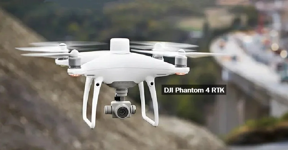
Our New Survey Drone
Advanced Distortion Correction
Drone Aerial & Survey Services
Our drone survey services are designed to provide high-quality, up-to-date aerial imagery, ensuring that you receive the most accurate and current data available. Our drones can be deployed quickly, reducing setup time and minimising disruptions to the public. This efficiency often eliminates the need for extensive traffic management, making the entire process smoother and less intrusive.
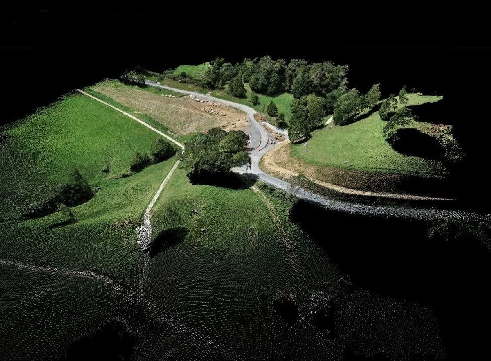
Beyond just capturing images, our drone surveys offer a powerful enhancement to conventional surveying techniques, delivering a more comprehensive view that helps you make better-informed decisions with greater confidence.
Precision Image Processing
Drone Survey Benefits
High quality up-to-date aerials
Quick setup and reduced public impact
Minimal or eliminated traffic management
Enhances and supplements conventional survey info.


