Projects
NCC have proven themselves capable and trusted across multiple sectors of the industry. We cover all aspects of investigation, design and project management in the civil infrastructure line, specialising in roading and pavement projects throughout the northland region and beyond.
SELECT FROM THE THUMBNAILS BELOW TO LEARN MORE ABOUT OUR PROJECTS
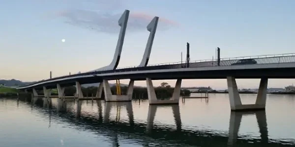
PROJECT: Lower Hatea

PROJECT: Old North Rd

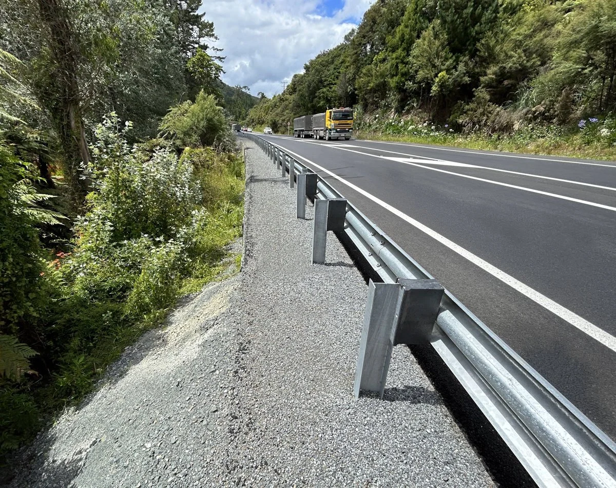
PROJECT: Brynderwyn

PROJECT: B.O.I. Airport
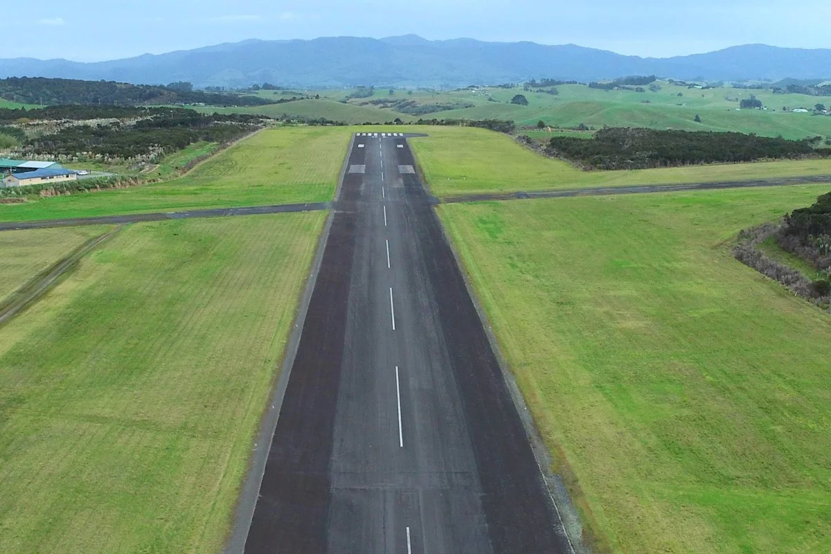
PROJECT: Kaitaia Airport
PROJECT: Kensington Manse
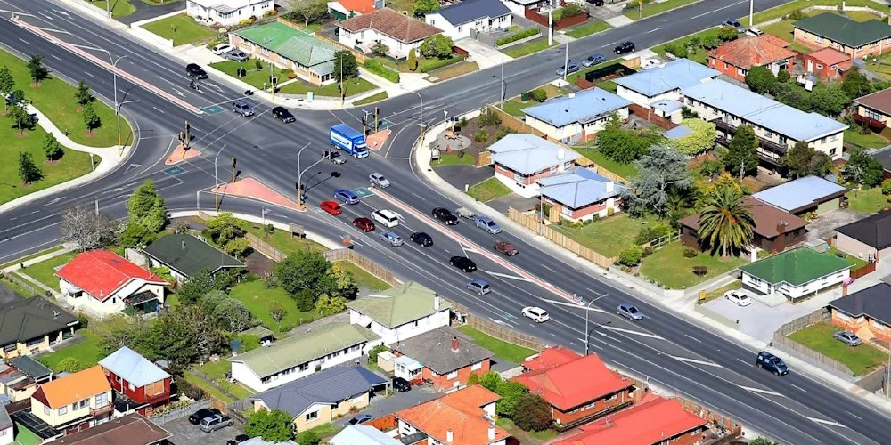
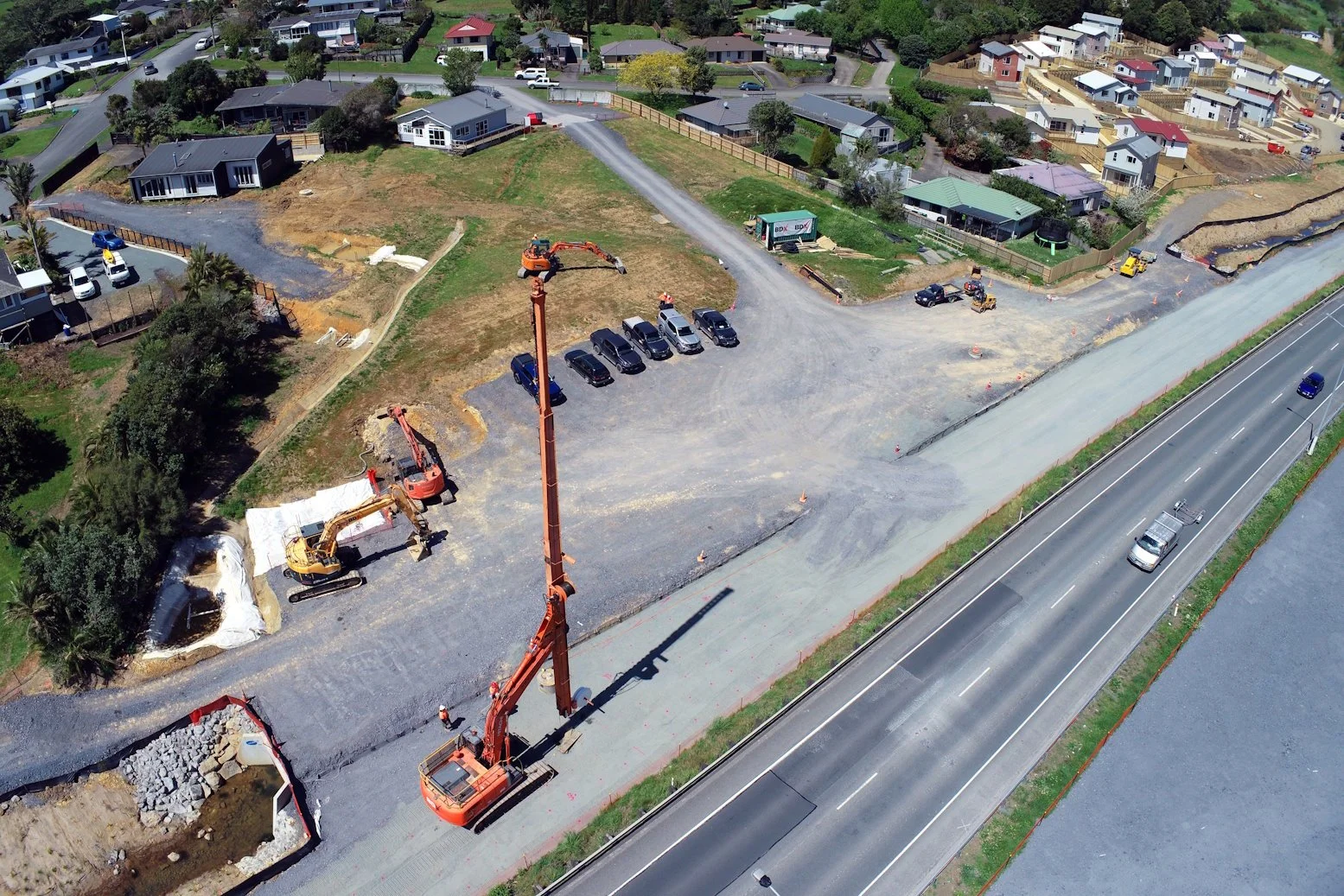
PROJECT: Selwyn to Fourth
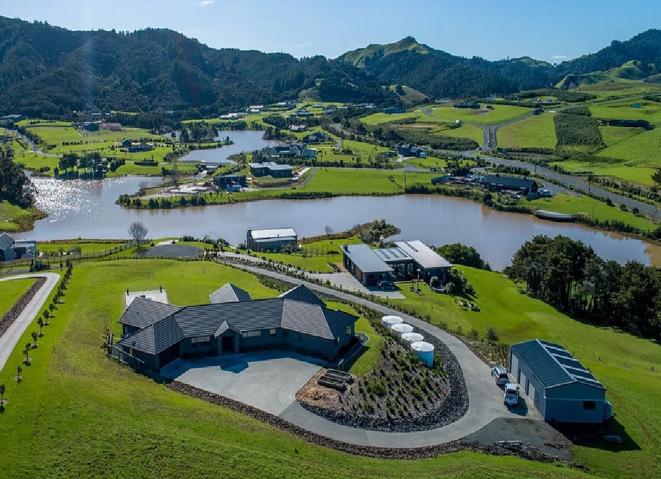
PROJECT: Bentzen Farm
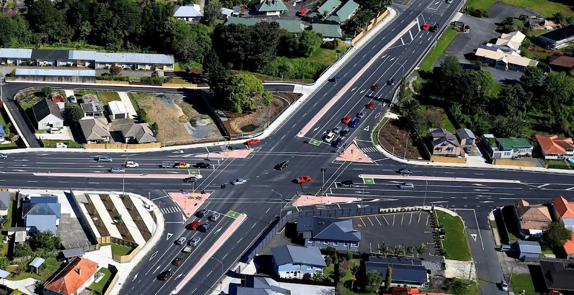
PROJECT: SH14 Intersection

PROJECT: SH2 Tauranga

PROJECT: HP-LL Rd Markings
PROJECT: Sanctuary Subdivision

PROJECT: SH10 Bulls Gorge

PROJECT: SH1 Akerama

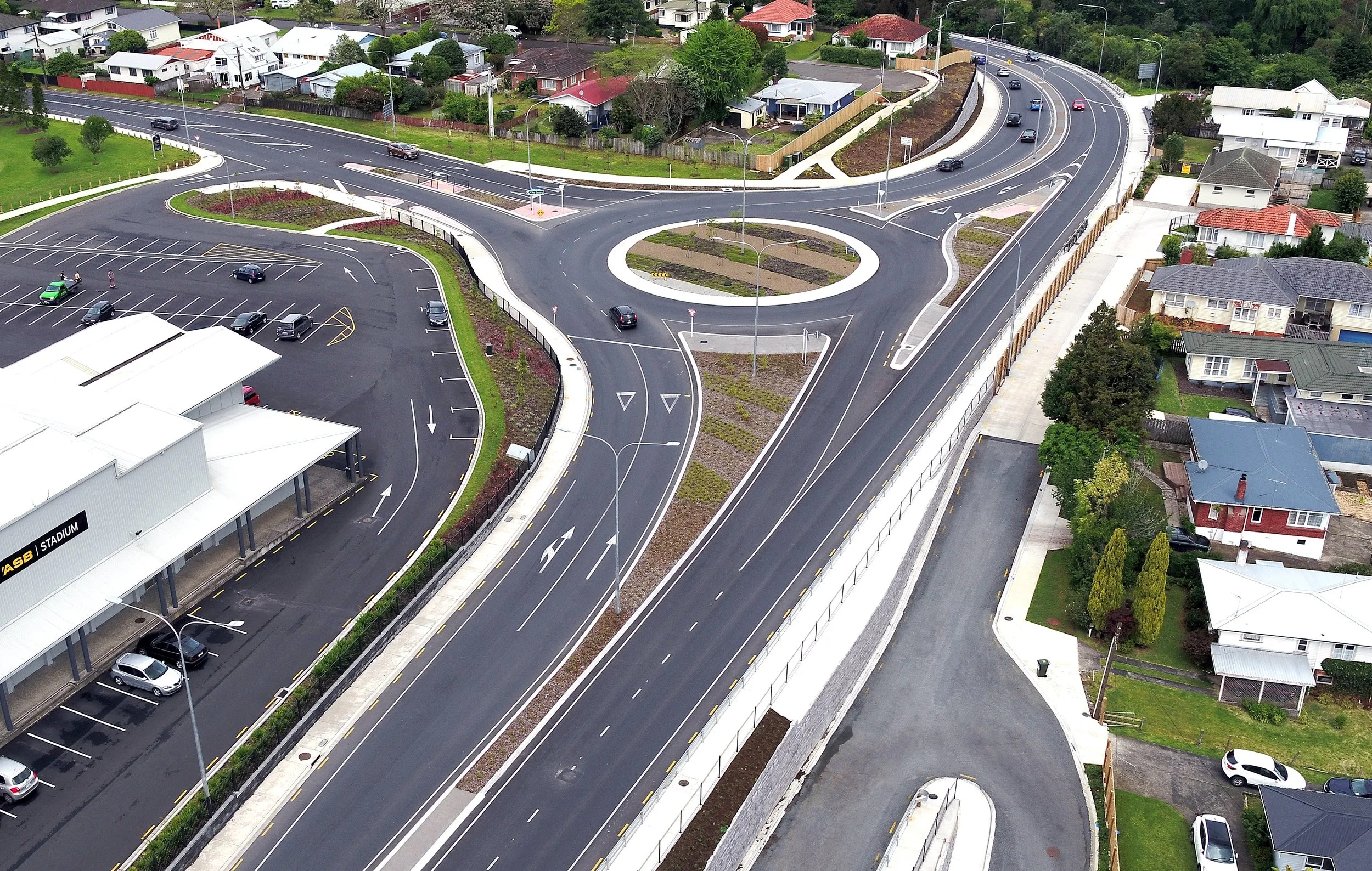
PROJECT: Puketona Roundabout
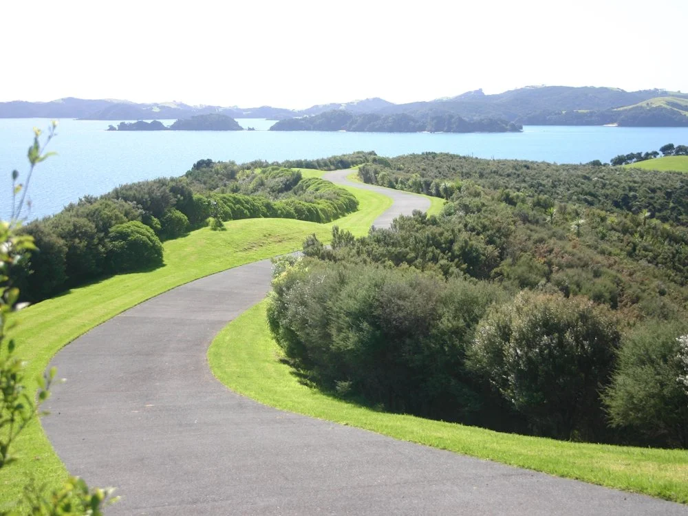
PROJECT: Dome Valley

PROJECT: Ruapekapeka

PROJECT: Waipapa Roundabout